Geo-Spatial Analysis

Data Literacy

Geo-Spatial Analysis

Summarizing Reality

  • Data attempts to summarize reality.
  • Limits in that summarization.
  • Problem = particularly clear with geospatial.

The Basics: Latitude and Longitude

  • Longitude = X axis
    • Measures distance from east to west
  • Latitude = Y axis
    • Measures distance north to south.

Why Projections are needed

  • What is a projection?
  • What is the issue with projections?
  • Representing a 3d globe in a 2d plane

The Basics: Projections

  • Projections are the way that we project 3d orientation to 2d.
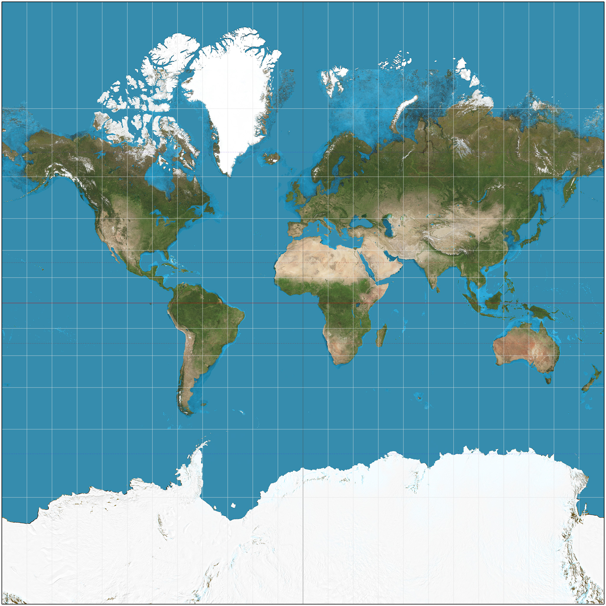
  • Standard Web projection is the Web Mercator: 3857

Projection Problems: Mercator Map

Mercator Projection

Projection Problems: Gall-Peters Projection.

Gall-Peters Projection

Projection Problems: Goode-Homolosine Projection

Goode-Homolosine Projection

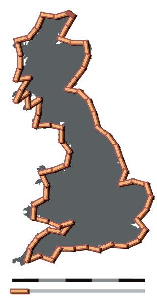
Other problems: Calculating Coastlines

  • What is the coastline paradox?

Coastline Paradox, cont.

Coastline Paradox, cont.

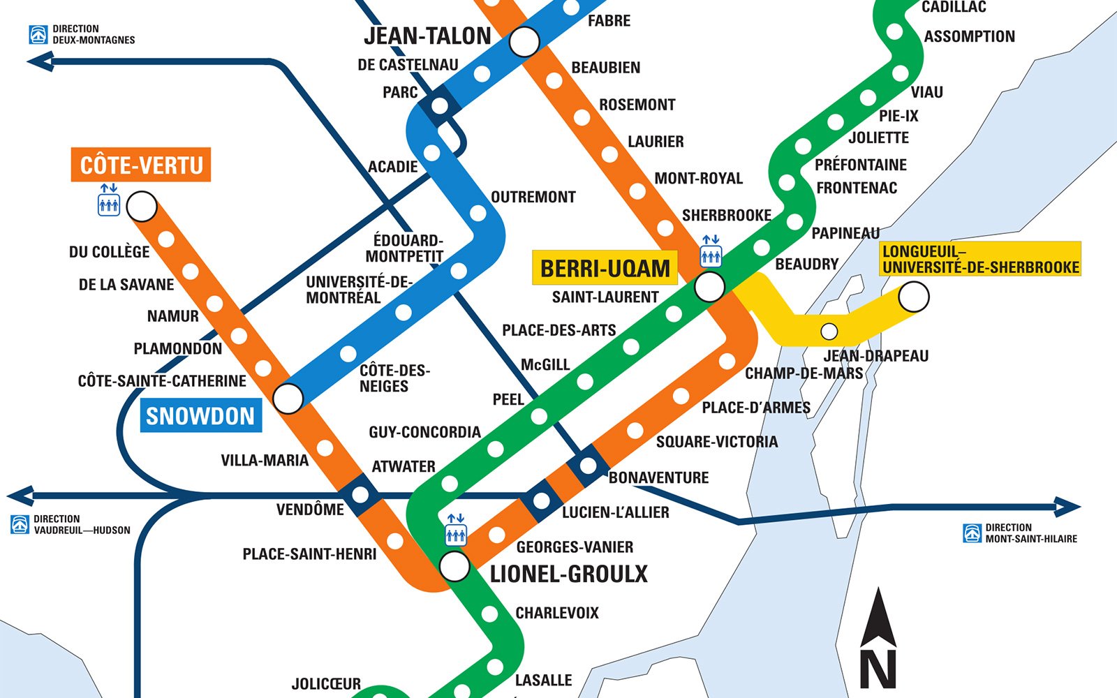
Types of Maps: Placial and Spatial

  • Placial map
    • A map where the physical space occupied is not the central concern.
    • Frequently attempts to summarize the data further for greater clarity.
  • Spatial map
    • A map where the occupied space is the central concern

Placial Map

Metro Map: Placial

Spatial Map

US population Map